Team Members: Chuyan Millie Huang, Wenwei Vicky Liu, Kim-Anh-Nhi Nguyen
In Collaboration with the Metric Geometry and Gerrymandering Group (MGGG) @ MIT CSAIL
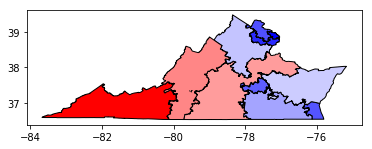
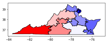
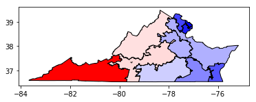
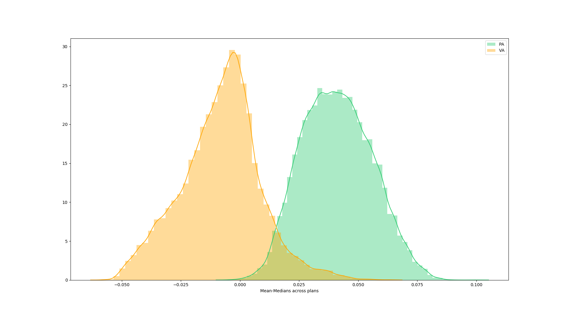
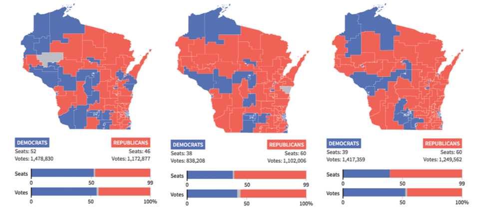
Gerrymandering is a practice intended to establish a political advantage for a particular party of group by manipulating district boundaries. Historically, different metrics of gerrymandering have been presented to courts to support rationales to claim illegal gerrymandering. There is not yet a universally agreed-upon metric for evaluating splitting of municipal units with districting plans. Commonly used metrics usually focus on either geographical compactness (number of cuts and splits) or partisan symmetry and vote efficiency (efficiency gap, mean-median, number of seats won by a certain Party).
However, there is intricate interplay between the legal constraints and the measurements of interes, and among the measurements themselves. Researchers have struggled to understand the trade-offs between these intertwined metrics.
We partner with researchers from the Metric Geometry and Gerrymandering Group (MGGG) at MIT CSAIL to design an interactive data visualization system to:
Here are some of the common metrics used to measure gerrymandering. Click on any metric to see their definition and common interpretation.
Now, choose a particular metric you are interested in and choose what you consider as a reasonable range of values using the sliding bar filtering function. Observe what this does to the distributions of other metrics!
Choose a metric to filter on
To start with, please choose a state to analyze: Virgina or Pennsylvania
Number of cuts
Democratic Votes (in %) for the Most Democratic District
Mean-Median
Number of Democratic seats
Efficiency Gap (in %)
Now, using the same tool on the right, let’s take a look at some common beliefs:
After you have spent some time playing around with the tool above, check the section below.
Did you see?
Using Virginia as an example:
Hopefully, at this point, you are familiarized with the idea of “distribution” of metrics. Often times, political groups come to research scientists asking for fairness evaluation of a certain districting plan. This is not meaningful! We propose that an alternative viable evaluation method would be to compare any particular redistricting plan to the global distributions of all possible plans and the distributions of their corresponding metrics.
Click on a given map to see their corresponding metrics compared to the global distributions of these metrics. How much of a outlier are they?
You should be able to see that map 1 and 3’s metrics fall very close to the median/mode of the distributions, whereas map 2’s metrics seem like outliers from the distributions. This indicates a high likelihood that gerrymandering has taken place in map 2.
Map 1
Map 2
Map 3
Number of Cuts
Democratic Votes for the Most Democratic District (in %)
Mean-Median
Number of Democratic Seats
Efficiency Gap (in %)
This is why you should not compare metrics across states - because of differences in inherent geopolitical characteristics for each state.
We hope that by now, you feel more educated on:
To discover more about gerrymandering, you are welcome to visit the Metric Geometry and Gerrymandering Group's webpage.
Thank you to: